Echavi

From Vector Graphics Wiki
Revision as of 01:10, 13 September 2025 by Admin (talk | contribs) (Created page with "thumb|Echavi is the red region on the map. West of the purple line, rivers flow westward; east of the line, rivers flow northward or eastward. This is often used as an informal eastern boundary for [[Liruzon.]] Echavi is a highland region making up most of inland Liruzon. It is the source of the Ilbanz and Arelbanz rivers, and separates Liruzon from the Vana. Geologically, it is the remnants of a mountainous plateau that formed when the...")
(diff) ← Older revision | Latest revision (diff) | Newer revision → (diff)
Jump to navigation Jump to search
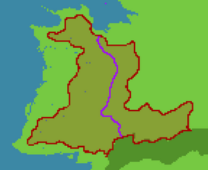
Echavi is the red region on the map. West of the purple line, rivers flow westward; east of the line, rivers flow northward or eastward. This is often used as an informal eastern boundary for Liruzon.

Echavi is a highland region making up most of inland Liruzon. It is the source of the Ilbanz and Arelbanz rivers, and separates Liruzon from the Vana. Geologically, it is the remnants of a mountainous plateau that formed when the continental fragment of Liruzon joined to Iltezon.